AERIAL FIELD
INTELLIGENCE FOR
WEST TEXAS
Authorized aerial documentation, mapping, and reporting for industrial facilities, ranch properties, renewable energy sites, and commercial infrastructure.
Coverage
Permian Basin
Availability
By appointment
Cert
FAA Part 107
Status
Fully Insured
Capabilities
WHAT WE DO
Clear, accurate, and actionable aerial intelligence. No fluff — just the data you need to keep operations moving.
Tank Battery Visual & Thermal Documentation
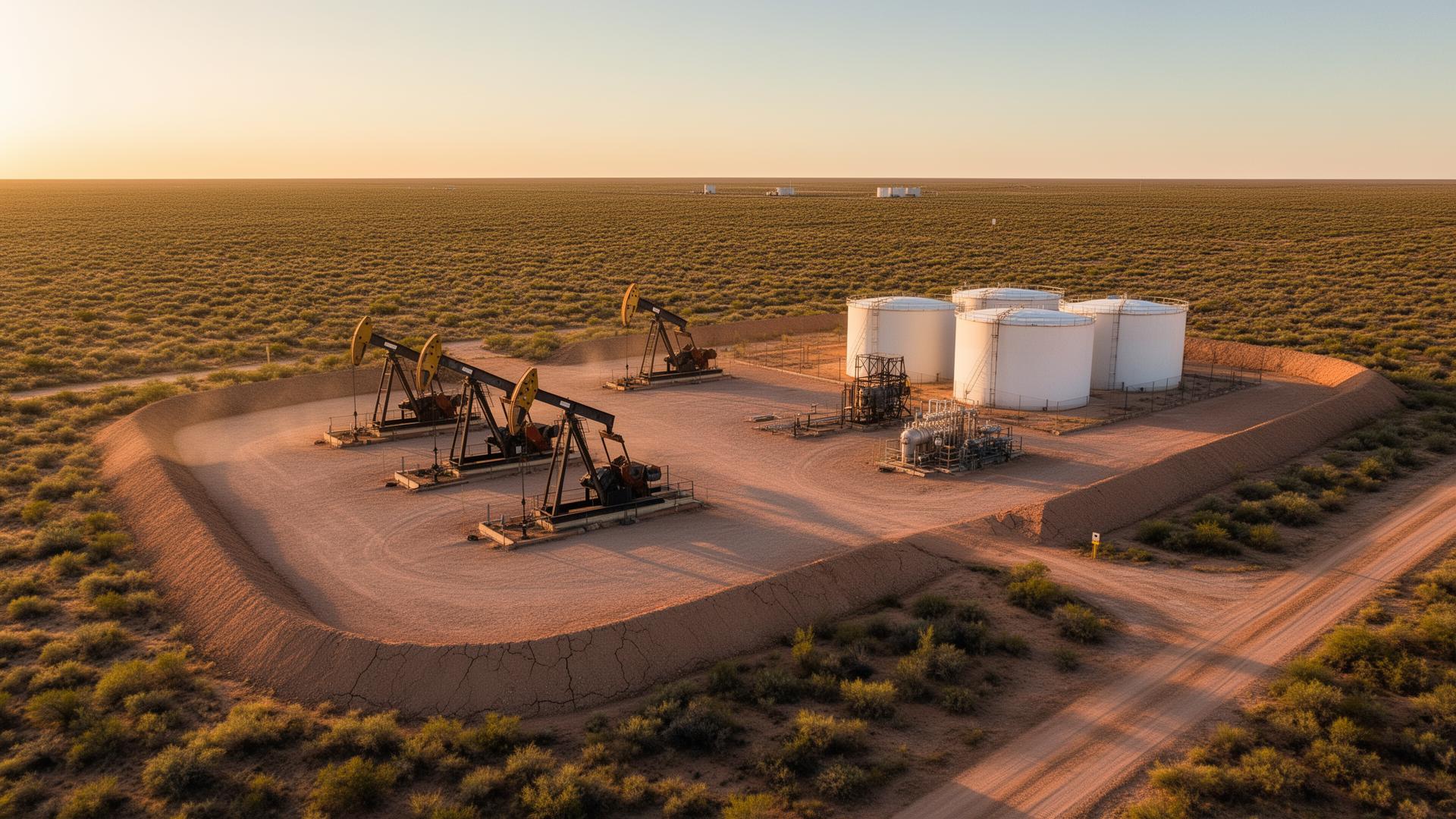
Organized aerial documentation of tanks, piping, containment areas, flare stacks, and surrounding site conditions. Available as a baseline assessment or recurring monitoring service.
Pump Jack & Artificial-Lift Documentation
High-resolution imagery of pumping units, well pads, foundations, and surface equipment, with optional thermal capture when equipment is operating.
Lease & Ranch Aerial Mapping
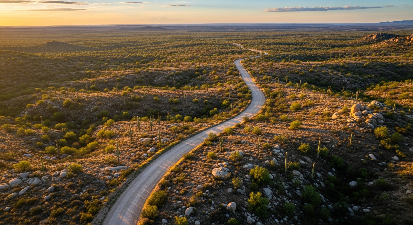
Practical aerial maps and route documentation showing lease roads, waterlines, gates, fences, tanks, water points, structures, and access conditions.
Monthly Asset Watch
Scheduled repeat visits using consistent imagery and reporting methods to document visible changes across selected tank batteries, pump jacks, and lease assets. 6-month minimum term.
Why choose us
WE WORK WHERE YOU WORK
We aren't a tech startup trying to figure out your operation. We're locals who use drone technology to solve real problems. When you hire West Texas Aerial Services, you get operators who know the terrain, understand the work, and deliver exactly what was promised.
Local Expertise
We know the Permian Basin. We understand the roads, the weather, and what operators actually need to see.
Fast Turnaround
Data is useless if it's late. We deliver high-quality reports and imagery fast — so you can decide today.
Precision & Safety
Fully licensed, insured, and focused on safe operations around high-value assets and active sites.
Unmatched Clarity
High-resolution thermal and visual data that leaves no room for guessing.
Field-ready
Operations snapshot
By appt
Flexible scheduling
100mi
Operating radius
4
Core services
Part 107
FAA certified
Based in the heart of the Permian — flying for oil & gas, lease roads, ranch, and industrial facilities across West Texas.
Ready when you are